2021
NJ2960 : Water Infrastructure
taken 3 years ago, near to Lhanbryde, Moray, Scotland
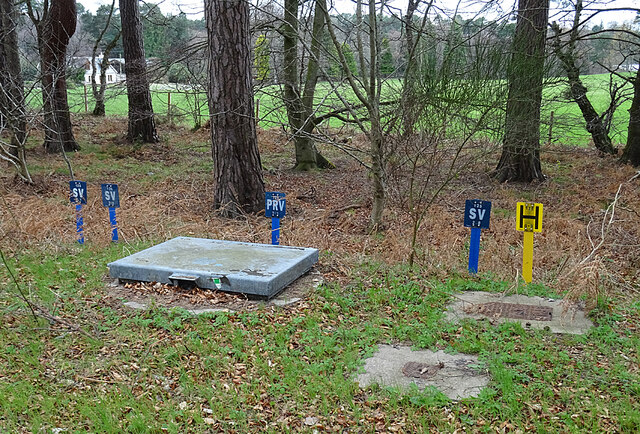
Water Infrastructure
An assortment of manholes and valve indicators near Scottish Water's reservoir.
 Map © Crown Copyright")
TIP: Click the map for more Large scale mapping
- Grid Square
- NJ2960, 18 images (more nearby 🔍)
- Photographer
- Anne Burgess (more nearby)
- Date Taken
- Wednesday, 7 April, 2021 (more nearby)
- Submitted
- Thursday, 8 April, 2021
- Subject Location
-
OSGB36:
 NJ 2914 6095 [10m precision]
WGS84: 57:37.9742N 3:11.3004W - Camera Location
-
OSGB36: NJ 2915 6095
- View Direction
- West-southwest (about 247 degrees)