2021
SO8285 : Staffordshire Way towards Lyndon Covert
taken 3 years ago, near to Kinver, Staffordshire, England
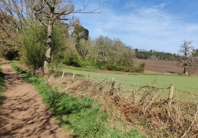
Staffordshire Way towards Lyndon Covert
The Staffordshire Way is 92 miles (148 km) in length. It starts at Mow Cop Castle on the edge of the Peak District in North Staffordshire, and finishes at Kinver Edge in South Staffordshire.
 Map © Crown Copyright")
TIP: Click the map for more Large scale mapping
- Grid Square
- SO8285, 120 images (more nearby 🔍)
- Photographer
- Mat Fascione (more nearby)
- Date Taken
- Sunday, 4 April, 2021 (more nearby)
- Submitted
- Thursday, 8 April, 2021
- Subject Location
-
OSGB36:
 SO 828 850 [100m precision]
WGS84: 52:27.7927N 2:15.2045W - Camera Location
-
OSGB36: SO 828 850
- View Direction
- NORTH (about 0 degrees)