2021
TQ4336 : Barr Field
taken 3 years ago, near to Forest Row, East Sussex, England
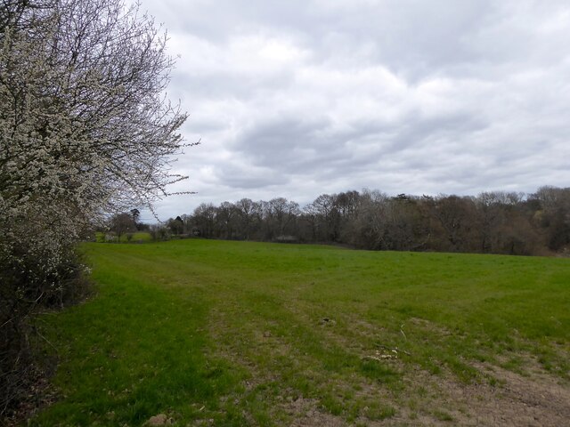
Barr Field
The name of the field according to East Grinstead's 1841 tithe map located to the east of the current Vanguard Way and west of Hazel Wood.
 Map © Crown Copyright")
TIP: Click the map for more Large scale mapping
- Grid Square
- TQ4336, 96 images (more nearby 🔍)
- Photographer
- Simon Carey (more nearby)
- Date Taken
- Wednesday, 7 April, 2021 (more nearby)
- Submitted
- Saturday, 10 April, 2021
- Subject Location
-
OSGB36:
 TQ 4325 3613 [10m precision]
WGS84: 51:6.3945N 0:2.6896E - Camera Location
-
OSGB36: TQ 4317 3606
- View Direction
- Northeast (about 45 degrees)