2017
SX1573 : Old Boundary Marker on Blacktor Downs
taken 7 years ago, near to Temple, Cornwall, England
This is 1 of 9 images, with title Old Boundary Marker on Blacktor Downs in this square
Old Boundary Marker on Blacktor Downs
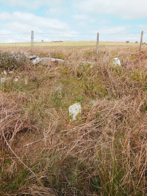
Estate Boundary Marker hidden in bracken in the valley between Blacktor Downs and the enclosed farmland of Simons Stone. On the northern bank of the stream draining the Colquite wetlands and china clay pit that flows in a westerly direction and forms one of the tributaries of the upper reaches of the Warleggan River. St Neot parish.
One of a series of similar, well cut, boundstones with rounded tops. Inscribed A on the southern face and R on the northern face, these stones mark the extent of land owned by the Agar Robartes family of Lanhydrock and the Rodd family of Trebartha, North Hill. Curiously the Ordnance Survey 6 inch to the mile maps of the late 19C and early 20C show some of these stones in pairs, one on each side of the stream. Presumably there was some dispute between the landowners as to who owned the water rights of the stream, thus each family fitted their own boundstone on opposite sides. This stone is shown as one of a pair, but to date only one has been found.
Milestone Society National ID: CW_STNEOT27em
National Survey of Wayside Features by The Milestone Society
These images are from Link
 Map © Crown Copyright")
TIP: Click the map for more Large scale mapping
- Grid Square
- SX1573, 21 images (more nearby 🔍)
- Photographer
- P G Moore (more nearby)
- Contributed by
- Mike Rayner (more nearby)
- Date Taken
- April 2017 (more nearby)
- Submitted
- Sunday, 11 April, 2021
- Subject Location
-
OSGB36:
 SX 15475 73190 [1m precision]
WGS84: 50:31.7590N 4:36.2941W - Camera Location
-
OSGB36: SX 15475 73190
- View Direction
- NORTH (about 0 degrees)