2021
TL3765 : Hill Farm, Lolworth
taken 3 years ago, near to Bar Hill, Cambridgeshire, England
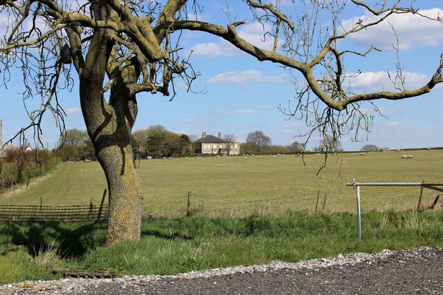
Hill Farm, Lolworth
Hill Farm - is someone being ironic? The map shows a spot height of 21m ASL adjacent to the farmhouse; in this part of the world that makes it a hill!
 Map © Crown Copyright")
TIP: Click the map for more Large scale mapping
- Grid Square
- TL3765, 11 images (more nearby 🔍)
- Photographer
- Martin Tester (more nearby)
- Date Taken
- Tuesday, 13 April, 2021 (more nearby)
- Submitted
- Tuesday, 13 April, 2021
- Subject Location
-
OSGB36:
 TL 3736 6535 [10m precision]
WGS84: 52:16.1494N 0:0.6946E - Camera Location
-
OSGB36: TL 3708 6519
- View Direction
- East-northeast (about 67 degrees)