2021
SJ7403 : Footpath across a field north of Kemberton Gorse
taken 3 years ago, near to Grindle, Shropshire, England
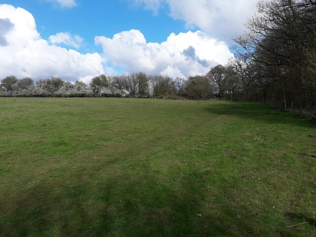
Footpath across a field north of Kemberton Gorse
Little used, even during the 2020/21 COVID-19 pandemic, this is one section of a pleasant path along the valley between SJ7503 : Full view of Grindleforge Bridge and Kemberton Mill Cottage.
 Map © Crown Copyright")
TIP: Click the map for more Large scale mapping
- Grid Square
- SJ7403, 13 images (more nearby 🔍)
- Photographer
- Richard Law (more nearby)
- Date Taken
- Sunday, 11 April, 2021 (more nearby)
- Submitted
- Friday, 16 April, 2021
- Subject Location
-
OSGB36:
 SJ 7471 0383 [10m precision]
WGS84: 52:37.8977N 2:22.5056W - Camera Location
-
OSGB36: SJ 74716 03803
- View Direction
- NORTH (about 0 degrees)