2021
SN8020 : Nant Lluestau
taken 3 years ago, 5 km SE of Llanddeusant, Carmarthenshire/Sir Gaerfyrddin, Wales
Nant Lluestau
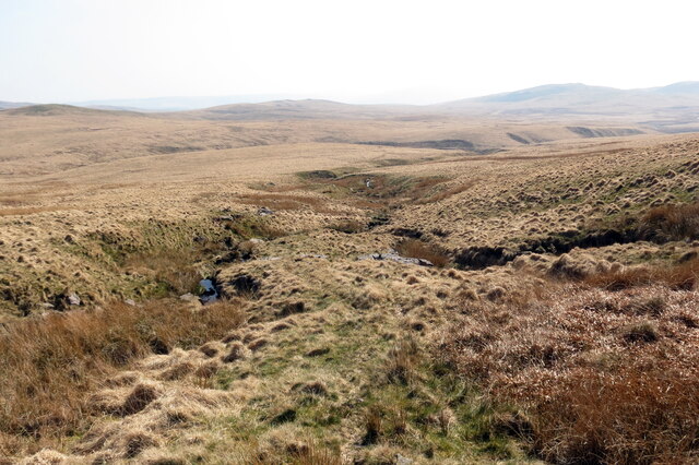
Uwchben fforch Nant Lluestau, rhagnant Afon Twrch.
Above a confluence of Nant Lluestau (trans. stream of temporary dwellings), a tributary of Afon Twrch (trans. boar river).
Above a confluence of Nant Lluestau (trans. stream of temporary dwellings), a tributary of Afon Twrch (trans. boar river).
 Map © Crown Copyright")
TIP: Click the map for more Large scale mapping
- Grid Square
- SN8020, 3 images (more nearby 🔍)
- Photographer
- Alan Richards (more nearby)
- Date Taken
- Monday, 19 April, 2021 (more nearby)
- Submitted
- Monday, 19 April, 2021
- Subject Location
-
OSGB36:
 SN 8023 2043 [10m precision]
WGS84: 51:52.1728N 3:44.4599W - Camera Location
-
OSGB36: SN 8023 2049
- View Direction
- SOUTH (about 180 degrees)