2021
SK3565 : Northedge
taken 3 years ago, near to Alton, Derbyshire, England
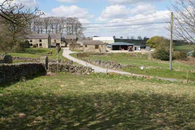
Northedge
A small farming community viewed across Northedge Lane.
 Map © Crown Copyright")
TIP: Click the map for more Large scale mapping
- Grid Square
- SK3565, 27 images (more nearby 🔍)
- Photographer
- Bill Boaden (more nearby)
- Date Taken
- Thursday, 15 April, 2021 (more nearby)
- Submitted
- Wednesday, 21 April, 2021
- Subject Location
-
OSGB36:
 SK 3588 6508 [10m precision]
WGS84: 53:10.8970N 1:27.8743W - Camera Location
-
OSGB36: SK 3592 6500
- View Direction
- North-northwest (about 337 degrees)