2021
TL7744 : Footpath 62_1 to the River Stour
taken 3 years ago, near to Clare, Suffolk, England
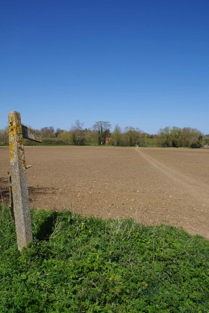
Footpath 62_1 to the River Stour
Looking across a harrowed field towards a TL7744 : Footbridge to Suffolk.
 Map © Crown Copyright")
TIP: Click the map for more Large scale mapping
- Grid Square
- TL7744, 32 images (more nearby 🔍)
- Photographer
- Glyn Baker (more nearby)
- Date Taken
- Thursday, 22 April, 2021 (more nearby)
- Submitted
- Saturday, 24 April, 2021
- Subject Location
-
OSGB36:
 TL 7753 4489 [10m precision]
WGS84: 52:4.4348N 0:35.3393E - Camera Location
-
OSGB36: TL 7754 4478
- View Direction
- NORTH (about 0 degrees)