2021
TL7845 : Rats Castle
taken 3 years ago, near to Clare, Suffolk, England
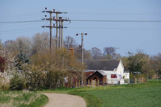
Rats Castle
Nearing the end of bridleway 65_2 the right of way continues a little beyond the house there is a public footpath on the far side of the river but no bridge to connect them.
 Map © Crown Copyright")
TIP: Click the map for more Large scale mapping
- Grid Square
- TL7845, 26 images (more nearby 🔍)
- Photographer
- Glyn Baker (more nearby)
- Date Taken
- Thursday, 22 April, 2021 (more nearby)
- Submitted
- Saturday, 24 April, 2021
- Subject Location
-
OSGB36:
 TL 7851 4524 [10m precision]
WGS84: 52:4.6045N 0:36.2073E - Camera Location
-
OSGB36: TL 7843 4519
- View Direction
- East-northeast (about 67 degrees)