2021
NY5345 : Rural road south of Ainstable
taken 3 years ago, near to Ainstable, Cumbria, England
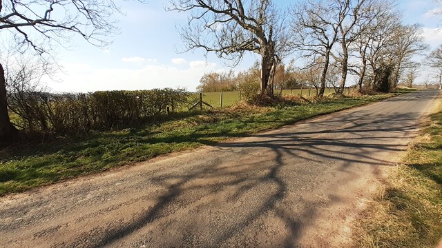
Rural road south of Ainstable
Ordnance Survey documents indicate that a benchmark levelled at 153.829m above Newlyn Datum was verified in 1972 on a gatepost at this location. The gateway is no longer.
 Map © Crown Copyright")
TIP: Click the map for more Large scale mapping
- Grid Square
- NY5345, 13 images (more nearby 🔍)
- Photographer
- Roger Templeman (more nearby)
- Date Taken
- Saturday, 17 April, 2021 (more nearby)
- Submitted
- Saturday, 24 April, 2021
- Subject Location
-
OSGB36:
 NY 5322 4573 [10m precision]
WGS84: 54:48.2548N 2:43.7560W - Camera Location
-
OSGB36: NY 5323 4567
- View Direction
- North-northwest (about 337 degrees)