2021
SH1527 : Mount Pleasant, Mynydd Anelog
taken 3 years ago, near to Uwchmynydd, Gwynedd, Wales
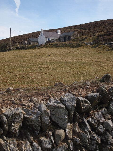
Mount Pleasant, Mynydd Anelog
 Map © Crown Copyright")
TIP: Click the map for more Large scale mapping
- Grid Square
- SH1527, 48 images (more nearby 🔍)
- Photographer
- Chris Andrews (more nearby)
- Date Taken
- Friday, 23 April, 2021 (more nearby)
- Submitted
- Saturday, 24 April, 2021
- Subject Location
-
OSGB36:
 SH 1513 2744 [10m precision]
WGS84: 52:48.7635N 4:44.6703W - Camera Location
-
OSGB36: SH 1508 2748
- View Direction
- Southeast (about 135 degrees)