2021
SP2874 : HS2 enabling works, Crackley-Burton Green, March 2021 (3)
taken 3 years ago, near to Burton Green, Warwickshire, England
HS2 enabling works, Crackley-Burton Green, March 2021 (3)
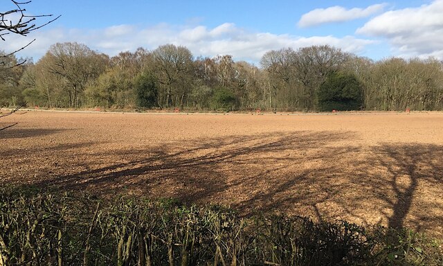
Obtrusive red signs like this SP2974 : HS2 enabling works, Crackley, February 2021 (9) mark the boundary of HS2's land. A swathe has been cut through Broadwell's Wood, in the background, for the line as it climbs gently, right to left, towards Burton Green. The view is from the Kenilworth Greenway.
Kenilworth Greenway
The Kenilworth Greenway runs, for much of its length, along the route of the dismantled railway between Kenilworth and Berkswell. The former LNWR line was opened 1884, closed 1969.
National cycle route 52 follows the greenway from Kenilworth to Crackley where it becomes route 523 to Burton Green.
 Map © Crown Copyright")
TIP: Click the map for more Large scale mapping
- Grid Square
- SP2874, 62 images (more nearby 🔍)
- Photographer
- Robin Stott (more nearby)
- Date Taken
- Monday, 29 March, 2021 (more nearby)
- Submitted
- Saturday, 24 April, 2021
- Subject Location
-
OSGB36:
 SP 2805 7489 [10m precision]
WGS84: 52:22.2806N 1:35.3656W - Camera Location
-
OSGB36: SP 2801 7478
- View Direction
- North-northeast (about 22 degrees)