2021
TQ4438 : Blackland Mead/Further Blackland Mead
taken 3 years ago, 3 km from Cowden, Kent, England
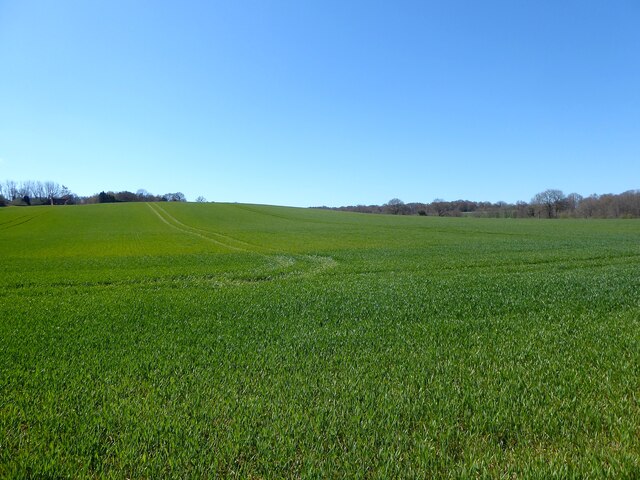
Blackland Mead/Further Blackland Mead
The name of the fields according to Hartfield's 1841 tithe map that have been merged to form a larger unit. Further Blackland Mead is to the right whilst Blackland Mead is to the left.
 Map © Crown Copyright")
TIP: Click the map for more Large scale mapping
- Grid Square
- TQ4438, 21 images (more nearby 🔍)
- Photographer
- Simon Carey (more nearby)
- Date Taken
- Saturday, 17 April, 2021 (more nearby)
- Submitted
- Sunday, 25 April, 2021
- Subject Location
-
OSGB36:
 TQ 4495 3807 [10m precision]
WGS84: 51:7.4149N 0:4.1923E - Camera Location
-
OSGB36: TQ 4499 3822
- View Direction
- South-southwest (about 202 degrees)