2021
TF0428 : Looking along the line of King Street
taken 3 years ago, near to Keisby, Lincolnshire, England
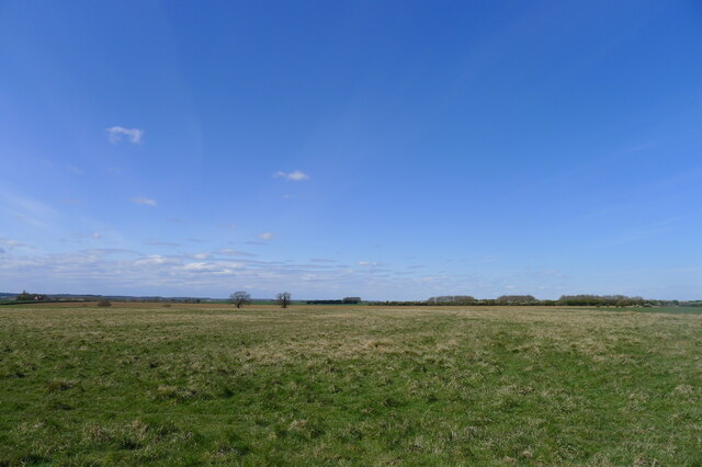
Looking along the line of King Street
The apparent route (as shown on OS map) of the Roman road crossing the 'Kesteven Uplands'. Patchy woodlands of the former Kesteven Forest lie on the slopes leading down to the Fen flatlands to the east (right). I couldn't see any obvious sigh of the road at ground level.
King Street (Roman Road 26)
King Street is the name of a modern road on the line of a Roman road (Margary Road number 26). The road left Ermine Street near Peterborough (Durobrivae) and then ran north for about 30 miles, close to the edge of the Fens, to rejoin Ermine Street at Ancaster (possibly Causennae).
Link
Link
 Map © Crown Copyright")
TIP: Click the map for more Large scale mapping
- Grid Square
- TF0428, 23 images (more nearby 🔍)
- Photographer
- Tim Heaton (more nearby)
- Date Taken
- Tuesday, 13 April, 2021 (more nearby)
- Submitted
- Sunday, 25 April, 2021
- Subject Location
-
OSGB36:
 TF 0482 2835 [10m precision]
WGS84: 52:50.5482N 0:26.7115W - Camera Location
-
OSGB36: TF 0492 2822
- View Direction
- Northwest (about 315 degrees)