2021
TQ4336 : Summers Field
taken 3 years ago, near to Ashurst Wood, West Sussex, England
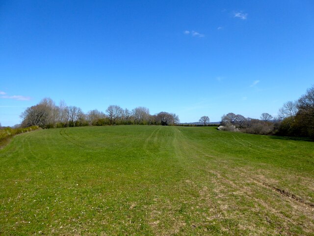
Summers Field
The name of the field according to East Grinstead's 1841 tithe map bounded by Cansiron Lane to the west and Highams Wood to the south.
 Map © Crown Copyright")
TIP: Click the map for more Large scale mapping
- Grid Square
- TQ4336, 96 images (more nearby 🔍)
- Photographer
- Simon Carey (more nearby)
- Date Taken
- Saturday, 17 April, 2021 (more nearby)
- Submitted
- Sunday, 25 April, 2021
- Subject Location
-
OSGB36:
 TQ 4398 3643 [10m precision]
WGS84: 51:6.5453N 0:3.3220E - Camera Location
-
OSGB36: TQ 4392 3634
- View Direction
- North-northeast (about 22 degrees)