2021
TQ4335 : Johns Field/Wood Field
taken 3 years ago, near to Forest Row, East Sussex, England
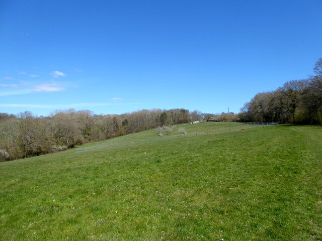
Johns Field/Wood Field
The name of the fields according to East Grinstead's 1841 tithe map that have been merged to form a larger unit. Johns Field was in the foreground adjacent to Minepits Wood to the right whilst Wood Field was to the north bordering Hazel Wood.
 Map © Crown Copyright")
TIP: Click the map for more Large scale mapping
- Grid Square
- TQ4335, 59 images (more nearby 🔍)
- Photographer
- Simon Carey (more nearby)
- Date Taken
- Saturday, 17 April, 2021 (more nearby)
- Submitted
- Sunday, 25 April, 2021
- Subject Location
-
OSGB36:
 TQ 4334 3589 [10m precision]
WGS84: 51:6.2638N 0:2.7610E - Camera Location
-
OSGB36: TQ 4325 3575
- View Direction
- North-northeast (about 22 degrees)