2021
TM1933 : High tide on the Stour estuary
taken 3 years ago, near to Harkstead, Suffolk, England
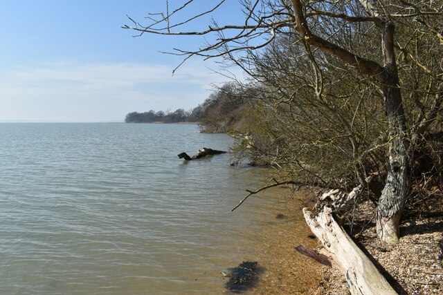
High tide on the Stour estuary
Looking west from Palace Quay.
 Map © Crown Copyright")
TIP: Click the map for more Large scale mapping
- Grid Square
- TM1933, 24 images (more nearby 🔍)
- Photographer
- Simon Mortimer (more nearby)
- Date Taken
- Tuesday, 30 March, 2021 (more nearby)
- Submitted
- Sunday, 25 April, 2021
- Subject Location
-
OSGB36:
 TM 1990 3341 [10m precision]
WGS84: 51:57.3405N 1:11.9349E - Camera Location
-
OSGB36: TM 1994 3340
- View Direction
- WEST (about 270 degrees)