2021
TM2033 : View of Beaumont Hall from the Stour and Orwell Path
taken 3 years ago, near to Erwarton, Suffolk, England
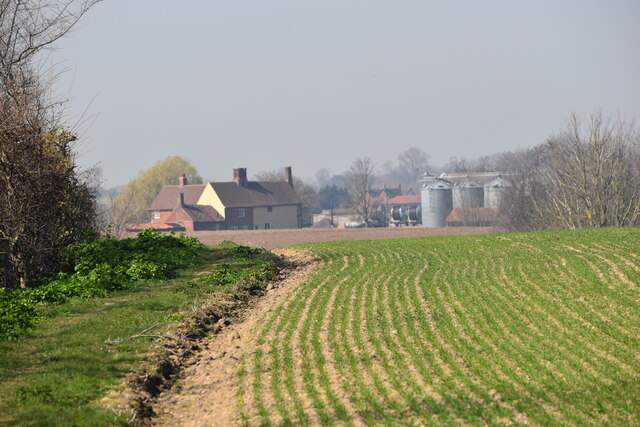
View of Beaumont Hall from the Stour and Orwell Path
 Map © Crown Copyright")
TIP: Click the map for more Large scale mapping
- Grid Square
- TM2033, 37 images (more nearby 🔍)
- Photographer
- Simon Mortimer (more nearby)
- Date Taken
- Tuesday, 30 March, 2021 (more nearby)
- Submitted
- Sunday, 25 April, 2021
- Subject Location
-
OSGB36:
 TM 2046 3383 [10m precision]
WGS84: 51:57.5534N 1:12.4392E - Camera Location
-
OSGB36: TM 2090 3342
- View Direction
- Northwest (about 315 degrees)