2021
SU4677 : Farmland, Peasemore
taken 3 years ago, near to Peasemore, West Berkshire, England
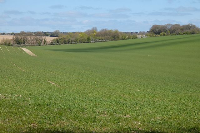
Farmland, Peasemore
Rolling arable fields to the east of the village.
 Map © Crown Copyright")
TIP: Click the map for more Large scale mapping
- Grid Square
- SU4677, 18 images (more nearby 🔍)
- Photographer
- Andrew Smith (more nearby)
- Date Taken
- Sunday, 25 April, 2021 (more nearby)
- Submitted
- Monday, 26 April, 2021
- Subject Location
-
OSGB36:
 SU 462 772 [100m precision]
WGS84: 51:29.5334N 1:20.1390W - Camera Location
-
OSGB36: SU 461 770
- View Direction
- North-northeast (about 22 degrees)