2021
SO9774 : Braces Lane
taken 3 years ago, near to Upper Catshill, Worcestershire, England
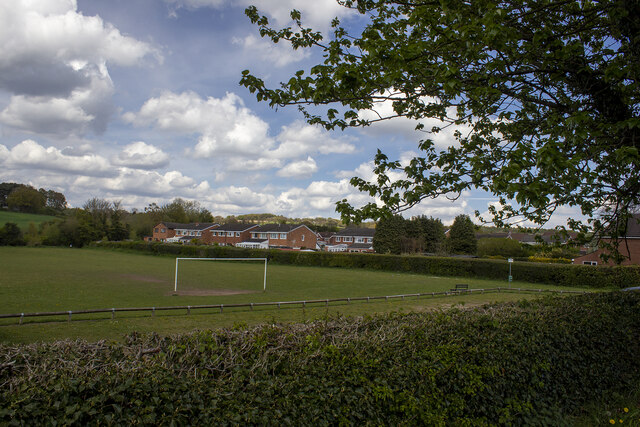
Braces Lane
 Map © Crown Copyright")
TIP: Click the map for more Large scale mapping
- Grid Square
- SO9774, 81 images (more nearby 🔍)
- Photographer
- P Gaskell (more nearby)
- Date Taken
- May 2021 (more nearby)
- Submitted
- Sunday, 2 May, 2021
- Subject Location
-
OSGB36:
 SO 9719 7430 [10m precision]
WGS84: 52:22.0046N 2:2.5616W - Camera Location
-
OSGB36: SO 9715 7420
- View Direction
- North-northeast (about 22 degrees)