2021
NS6982 : The Braes Burn
taken 3 years ago, 5 km N of Queenzieburn, North Lanarkshire, Scotland
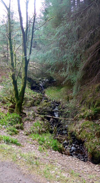
The Braes Burn
In the Carron Valley Forest.
 Map © Crown Copyright")
TIP: Click the map for more Large scale mapping
- Grid Square
- NS6982, 9 images (more nearby 🔍)
- Photographer
- Gordon Brown (more nearby)
- Date Taken
- Sunday, 2 May, 2021 (more nearby)
- Submitted
- Sunday, 2 May, 2021
- Subject Location
-
OSGB36:
 NS 6921 8254 [10m precision]
WGS84: 56:1.0724N 4:5.9842W - Camera Location
-
OSGB36: NS 6918 8258
- View Direction
- Southeast (about 135 degrees)