TM2281 : Portage point on the River Waveney
taken 3 years ago, near to Needham, Norfolk, England
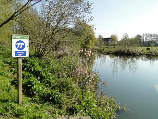
The River Waveney forms the boundary between Suffolk and Norfolk. It rises at Redgrave Fen and flows in an easterly direction though the towns of Diss, Bungay (the head of navigation) and Beccles. There is a weir at Billingford, shortly after the River Dove, flowing northwards from Eye, joins the Waveney on the southern bank. The Waveney passes round Bungay and on to Beccles. Having skirted past Oulton Broad it passes through Somerleyton and Hadiscoe before merging with the Yare in Breydon Water.
Norfolk has nearly 40 rivers and becks as well as the Norfolk Broads. The primary rivers are the River Waveney which with the River Little Ouse create the boundary between Norfolk and Suffolk. The Yare rises south of Dereham and runs into Breydon Water and discharges into the North Sea at Great Yarmouth. The River Wensum is a tributary of the River Yare, despite being the larger of the two rivers. The River Bure rises near Melton Constable, flows as far as through Runham and Great Yarmouth where it meets Breydon Water and flows into the sea at Gorleston. The River Great Ouse only enters Norfolk at Brandon Creek, Norfolk. The River Tud has its source just south of East Dereham and it flows in an easterly direction for 27 kilometres (17 mi) to its confluence with the Wensum below Hellesdon mill. The River Nar is a tributary of the River Great Ouse. It rises at Mileham in Norfolk and flows 15 miles west through Castle Acre and Narborough (the latter giving the Nar its name), joining the Ouse at King's Lynn. The River Chet at Loddon Marina.
Suffolk has twenty rivers worthy of the name. The River Waveney and the River Little Ouse form the boundary between Norfolk and Suffolk. The River Stour does the same for Suffolk and Essex. The Alde, the Blyth, the Deben and the Orwell are the main rivers and the others are tributaries or affluents of these. Among the names of these are the Gipping, the Box, the Lark, the Dove, the Snail and the Rat.
Other rivers and tributaries are the Minsmere, Fromus, Mill, Ore, Chad, Fynn, Kirton Creek, and Shottisham Creek, Belstead Brook, the Black Bourne, Eriswell Lode, Polstead Stream and Hol Brook. Edited by Adrian S. Pye
 Map © Crown Copyright")
- Grid Square
- TM2281, 67 images (more nearby 🔍)
- Photographer
- Adrian S Pye (more nearby)
- Date Taken
- Saturday, 1 May, 2021 (more nearby)
- Submitted
- Monday, 3 May, 2021
- Subject Location
-
OSGB36:
 TM 2282 8108 [10m precision]
WGS84: 52:22.9437N 1:16.3567E - Camera Location
-
OSGB36: TM 2280 8105
- View Direction
- Northeast (about 45 degrees)