2021
SN7618 : Foel Fraith
taken 3 years ago, 5 km SE of Capel Gwynfe, Carmarthenshire/Sir Gaerfyrddin, Wales
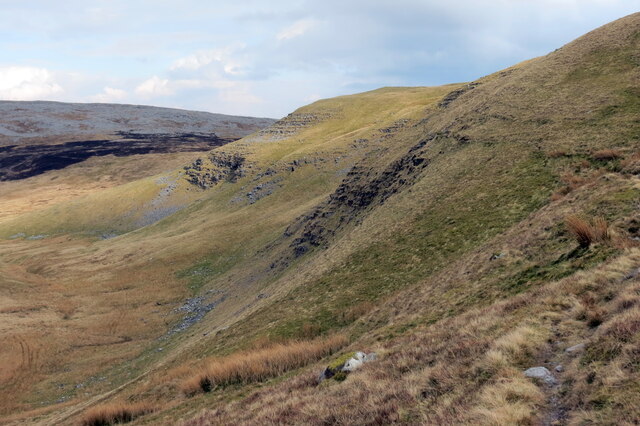
Foel Fraith
Llethrau gogleddol geirwon Foel Fraith.
The rugged northern slopes of Foel Fraith (trans. mottled bare hilltop).
The rugged northern slopes of Foel Fraith (trans. mottled bare hilltop).
 Map © Crown Copyright")
TIP: Click the map for more Large scale mapping
- Grid Square
- SN7618, 17 images (more nearby 🔍)
- Photographer
- Alan Richards (more nearby)
- Date Taken
- Wednesday, 14 April, 2021 (more nearby)
- Submitted
- Monday, 3 May, 2021
- Subject Location
-
OSGB36:
 SN 7620 1873 [10m precision]
WGS84: 51:51.2034N 3:47.9335W - Camera Location
-
OSGB36: SN 7603 1873
- View Direction
- EAST (about 90 degrees)