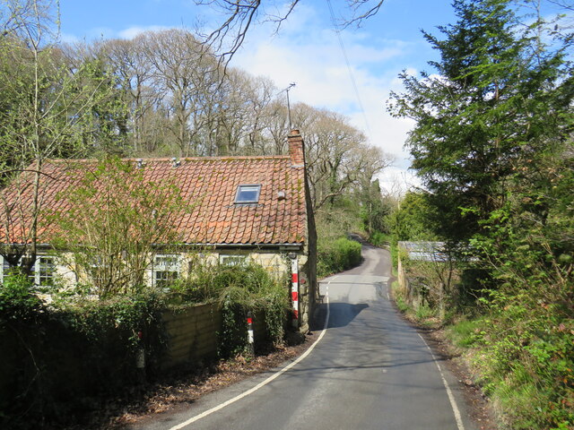
NZ8909 : Glen Esk Road, near Whitby
taken 3 years ago, near to Ruswarp, North Yorkshire, England
The National Cycle Network is a network of cycle routes. It was created by the charity Sustrans Link
(Sustainable Transport), aided by a National Lottery grant.
Many routes aim to minimise contact with motor traffic, though 70% of them are on roads. In some cases the NCN uses pedestrian routes, disused railways, minor roads, canal towpaths, or traffic-calmed routes in towns and cities.
National Cycle Network route 165 links the market town of Barnard Castle with the coastal town of Whitby, passing along the Tees and Esk valleys and over the North Yorkshire Moors. It is nearly 72 miles long. It forms part of the Walney to Whitby longer distance cycle route.
For more information, see Sustrans' website: Link
The Walney to Wear (W2W) cycle route is a long-distance route across the north of England. It stretches for 151 miles from Walney Island, on the west coast close to the town of Barrow-in-Furness, and ends in Sunderland on the east coast. Sunderland is at the mouth of the River Wear. There is also a branch to Whitby, which makes a longer route than the route to Sunderland. The W2W crosses the Pennines, passing England's highest pub (Tan Hill Inn) which is 1,732 feet above sea level.
More information about the W2W can be found on the Sustrans website Link
 Map © Crown Copyright")
- Grid Square
- NZ8909, 323 images (more nearby 🔍)
- Photographer
- Malc McDonald (more nearby)
- Date Taken
- Thursday, 29 April, 2021 (more nearby)
- Submitted
- Tuesday, 4 May, 2021
- Subject Location
-
OSGB36:
 NZ 8955 0919 [10m precision]
WGS84: 54:28.2113N 0:37.1849W - Camera Location
-
OSGB36: NZ 8956 0918
- View Direction
- Northwest (about 315 degrees)