2021
SS5098 : Slipway into the Loughor Estuary
taken 3 years ago, 3 km from Llanelli, Carmarthenshire/Sir Gaerfyrddin, Wales
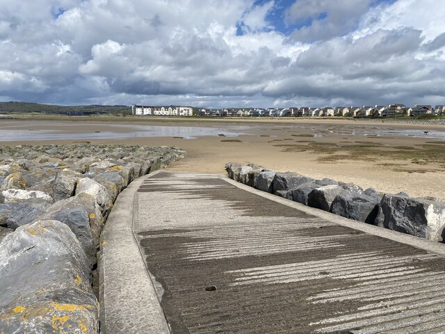
Slipway into the Loughor Estuary
View towards the housing development at Machynys.
 Map © Crown Copyright")
TIP: Click the map for more Large scale mapping
- Grid Square
- SS5098, 39 images (more nearby 🔍)
- Photographer
- Alan Hughes (more nearby)
- Date Taken
- Wednesday, 5 May, 2021 (more nearby)
- Submitted
- Wednesday, 5 May, 2021
- Subject Location
-
OSGB36:
 SS 5041 9802 [10m precision]
WGS84: 51:39.6599N 4:9.8497W - Camera Location
-
OSGB36: SS 50419 98019
- View Direction
- North-northwest (about 337 degrees)