2021
NT2654 : Cockmuir Road
taken 3 years ago, 3 km from Leadburn, Midlothian, Scotland
This is 1 of 2 images, with title Cockmuir Road in this square
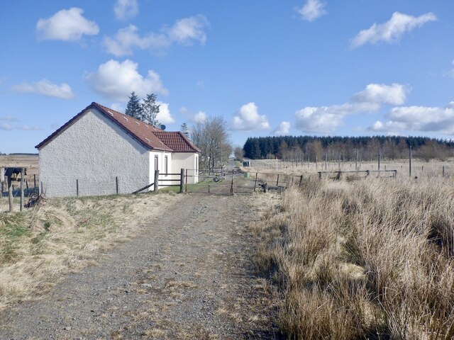
Cockmuir Road
Eastward view towards the end of the tarred section of road.
 Map © Crown Copyright")
TIP: Click the map for more Large scale mapping
- Grid Square
- NT2654, 13 images (more nearby 🔍)
- Photographer
- Richard Webb (more nearby)
- Date Taken
- Sunday, 11 April, 2021 (more nearby)
- Submitted
- Thursday, 6 May, 2021
- Subject Location
-
OSGB36:
 NT 2623 5475 [10m precision]
WGS84: 55:46.8251N 3:10.6635W - Camera Location
-
OSGB36: NT 2620 5472
- View Direction
- Northeast (about 45 degrees)