S6570 : Pasture Field
taken 3 years ago, near to Bilboa, Co Carlow, Ireland
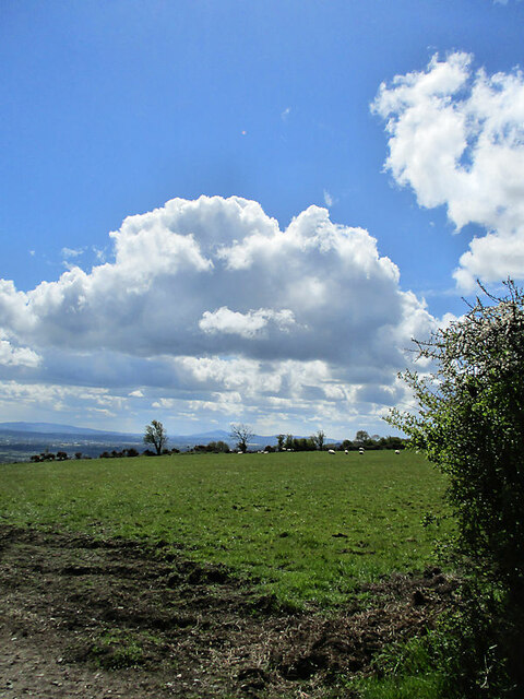
Pasture Field
Pasture field with distant Brandon Hill on skyline, at Booleyrathornan (or Tomard) about 8.5km SE of Carlow.
![Creative Commons Licence [Some Rights Reserved]](https://s1.geograph.org.uk/img/somerights20.gif)
|
· Find out How to reuse this image ·
Share:
|
|||||
| Start a discussion on S6570 | Suggest an update to this image | Contact the contributor | |||
Loading map... (JavaScript required)
- Grid Square
- S6570, 3 images (more nearby
 )
)
- Photographer
- kevin higgins (find more nearby)
- Date Taken
- Wednesday, 5 May, 2021 (more nearby)
- Submitted
- Saturday, 8 May, 2021
- Geographical Context
- Primary Subject of Photo
- Subject Location
-
Irish:
 S 659 706 [100m precision]
WGS84: 52:46.9707N 7:1.3912W - Camera Location
-
Irish: S 658 708
- View Direction
- South-southeast (about 157 degrees)
This page has been viewed about 6 times.
View this location:
KML (Google Earth) ·
Google Maps ·
Bing Maps ·
Geograph Coverage Map ·
More Links for this image
·
Bing Maps ·
Geograph Coverage Map ·
More Links for this image