2021
SP2874 : HS2 enabling works, Crackley-Burton Green, March 2021 (1)
taken 3 years ago, near to Westwood Heath, Coventry, England
HS2 enabling works, Crackley-Burton Green, March 2021 (1)
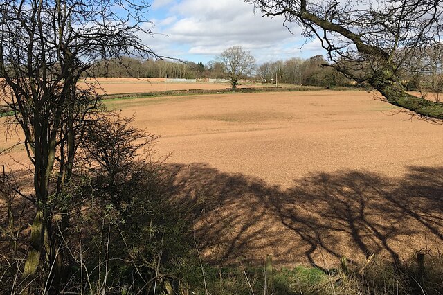
This view from the Kenilworth Greenway is across fields and Blind Lane SP2874 : Blind Lane, Crackley to the big grey galvanised fences and gates where Crackley Lane will cross the railway SP2874 : HS2 enabling works, Crackley, February 2021 (29). Link near the 144+000 mark.
Kenilworth Greenway
The Kenilworth Greenway runs, for much of its length, along the route of the dismantled railway between Kenilworth and Berkswell. The former LNWR line was opened 1884, closed 1969.
National cycle route 52 follows the greenway from Kenilworth to Crackley where it becomes route 523 to Burton Green.
 Map © Crown Copyright")
TIP: Click the map for more Large scale mapping
- Grid Square
- SP2874, 62 images (more nearby 🔍)
- Photographer
- Robin Stott (more nearby)
- Date Taken
- Monday, 29 March, 2021 (more nearby)
- Submitted
- Sunday, 9 May, 2021
- Subject Location
-
OSGB36:
 SP 288 746 [100m precision]
WGS84: 52:22.1271N 1:34.6797W - Camera Location
-
OSGB36: SP 286 743
- View Direction
- North-northeast (about 22 degrees)