2021
NT0013 : Forestry track near Beattock Summit
taken 3 years ago, 3 km from Nether Howecleuch, Dumfries And Galloway, Scotland
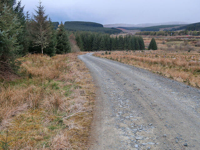
Forestry track near Beattock Summit
Looking towards Beattock Summit with the traffic on the A74(M) just visible on the right.
 Map © Crown Copyright")
TIP: Click the map for more Large scale mapping
- Grid Square
- NT0013, 23 images (more nearby 🔍)
- Photographer
- wrobison (more nearby)
- Date Taken
- Wednesday, 5 May, 2021 (more nearby)
- Submitted
- Monday, 10 May, 2021
- Subject Location
-
OSGB36:
 NT 0051 1364 [10m precision]
WGS84: 55:24.3937N 3:34.3679W - Camera Location
-
OSGB36: NT 0058 1357
- View Direction
- Northwest (about 315 degrees)