2000
SH6461 : The Ogwen Valley from the lower slopes of Y Garn
taken 24 years ago, near to Pont Pen-y-Benglog, Conwy, Wales
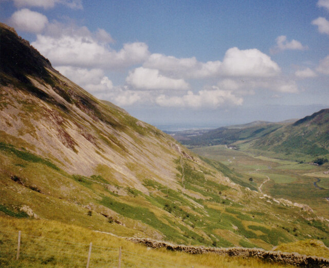
The Ogwen Valley from the lower slopes of Y Garn
The flat valley floor represents the site of a former lake which formed in the periglacial period. It is now drained by Afon Ogwen.
 Map © Crown Copyright")
TIP: Click the map for more Large scale mapping
- Grid Square
- SH6461, 26 images (more nearby 🔍)
- Photographer
- Eric Jones (more nearby)
- Date Taken
- Monday, 17 July, 2000 (more nearby)
- Submitted
- Tuesday, 11 May, 2021
- Subject Location
-
OSGB36:
 SH 643 610 [100m precision]
WGS84: 53:7.7740N 4:1.7510W - Camera Location
-
OSGB36: SH 636 600
- View Direction
- North-northeast (about 22 degrees)