2020
TF9743 : The Old Chapel
taken 4 years ago, near to Stiffkey, Norfolk, England
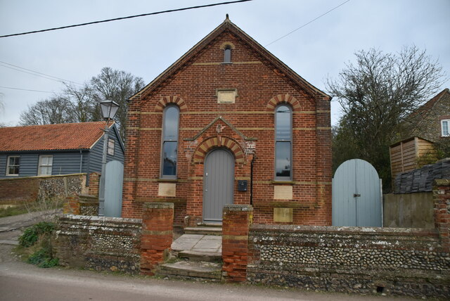
The Old Chapel
Stiffkey is a village and civil parish on the north coast of Norfolk. It is situated on the A149 coast road, some 6 km east of Wells-next-the-Sea, 6 km west of Blakeney.
The place-name 'Stiffkey' is first evidenced in the Domesday Book of 1086, and means 'stump island, island with stumps of trees'.
The River Stiffkey runs through the village, from which it takes its name, and used to power the Stiffkey watermill which was built before 1579. It was a small mill, running two pairs of stones, and it operated until 1881 when it was put up for auction as a warehouse. Little now remains of the mill: just a few low ruined walls showing the position of the building.
The Norfolk Coast Path runs between the village and the sea.
See other images of Stiffkey
 Map © Crown Copyright")
TIP: Click the map for more Large scale mapping
- Grid Square
- TF9743, 140 images (more nearby 🔍)
- Photographer
- N Chadwick (more nearby)
- Date Taken
- Thursday, 2 January, 2020 (more nearby)
- Submitted
- Thursday, 13 May, 2021
- Subject Location
-
OSGB36:
 TF 9702 4317 [10m precision]
WGS84: 52:56.9834N 0:55.8703E - Camera Location
-
OSGB36: TF 9701 4316
- View Direction
- North-northeast (about 22 degrees)