2021
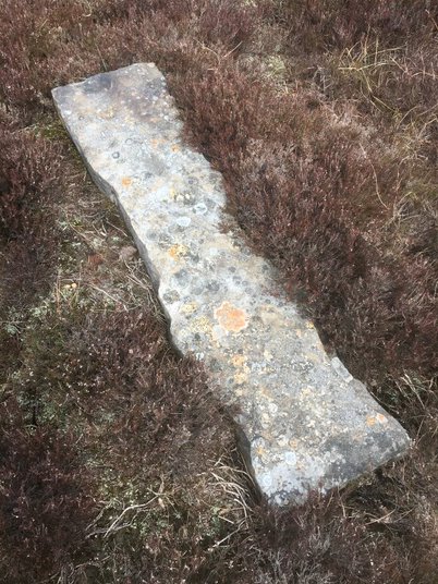
SE1302 : Old Boundary Marker on Dead Edge Flat
taken 3 years ago, near to Dunford Bridge, Barnsley, England
This is 1 of 2 images, with title Old Boundary Marker on Dead Edge Flat in this square
Old Boundary Marker on Dead Edge Flat
Estate Boundary Marker lying flat on Dead Edge Flat, Dunford parish.
Milestone Society National ID: YW_DUNF06em
Milestone Society National ID: YW_DUNF06em
National Survey of Wayside Features by The Milestone Society
These images are from Link
 Map © Crown Copyright")
TIP: Click the map for more Large scale mapping
- Grid Square
- SE1302, 19 images (more nearby 🔍)
- Photographer
- D Garside (more nearby)
- Contributed by
- Mike Rayner (more nearby)
- Date Taken
- Friday, 30 April, 2021 (more nearby)
- Submitted
- Friday, 14 May, 2021
- Subject Location
-
OSGB36:
 SE 13822 02133 [1m precision]
WGS84: 53:30.9417N 1:47.5815W - Camera Location
-
OSGB36: SE 13822 02133