2019
SD9263 : Moorland view from bend in track from Hawthorns Lane to Weets Top
taken 5 years ago, near to Bordley, North Yorkshire, England
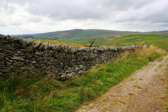
Moorland view from bend in track from Hawthorns Lane to Weets Top
Ordnance Survey documents indicate that a benchmark levelled at 394.283m above Newlyn Datum was verified in 1954 on a stone at the base of the wall at this location
 Map © Crown Copyright")
TIP: Click the map for more Large scale mapping
- Grid Square
- SD9263, 91 images (more nearby 🔍)
- Photographer
- Luke Shaw (more nearby)
- Date Taken
- Wednesday, 21 August, 2019 (more nearby)
- Submitted
- Tuesday, 18 May, 2021
- Subject Location
-
OSGB36:
 SD 9245 6345 [10m precision]
WGS84: 54:4.0159N 2:7.0113W - Camera Location
-
OSGB36: SD 9254 6340
- View Direction
- West-northwest (about 292 degrees)