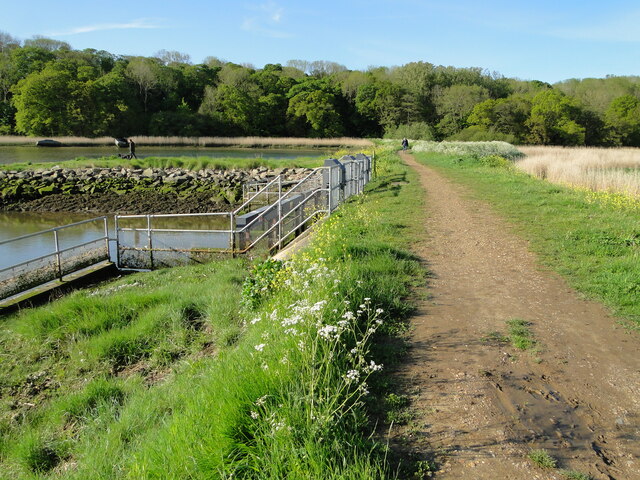
TM2547 : Sluice at Martlesham Creek
taken 3 years ago, near to Martlesham, Suffolk, England
The recognised source is to the west of Debenham, though a second, higher source runs south from the parish of Bedingfield. The river, which is just over 33 miles long, passes through Woodbridge, where it becomes a tidal estuary before emptying into the North Sea between Felixstowe and Bawdsey at Harwich Haven.
Suffolk has twenty rivers worthy of the name. The River Waveney and the River Little Ouse form the boundary between Norfolk and Suffolk. The River Stour does the same for Suffolk and Essex. The Alde, the Blyth, the Deben and the Orwell are the main rivers and the others are tributaries or affluents of these. Among the names of these are the Gipping, the Box, the Lark, the Dove, the Snail and the Rat.
Other rivers and tributaries are the Minsmere, Fromus, Mill, Ore, Chad, Fynn, Kirton Creek, and Shottisham Creek, Belstead Brook, the Black Bourne, Eriswell Lode, Polstead Stream and Hol Brook. Edited by Adrian S. Pye
 Map © Crown Copyright")
- Grid Square
- TM2547, 112 images (more nearby 🔍)
- Photographer
- Adrian S Pye (more nearby)
- Date Taken
- Sunday, 23 May, 2021 (more nearby)
- Submitted
- Sunday, 23 May, 2021
- Subject Location
-
OSGB36:
 TM 2589 4720 [10m precision]
WGS84: 52:4.6231N 1:17.7017E - Camera Location
-
OSGB36: TM 2587 4723
- View Direction
- South-southeast (about 157 degrees)