2019
NX9717 : Wall on NE side of Back Corkickle (A5094) and house above
taken 5 years ago, near to Whitehaven, Cumbria, England
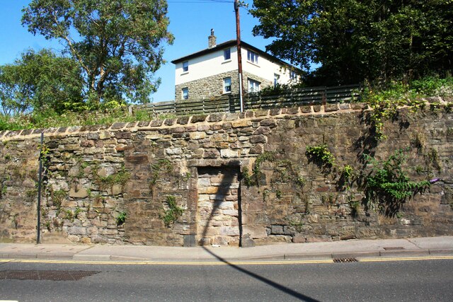
Wall on NE side of Back Corkickle (A5094) and house above
There is an Ordnance Survey benchmark NX9717 : Benchmark on wall on NE side of Back Corkickle on the second stone above the pavement on the wall right of the blocked doorway
 Map © Crown Copyright")
TIP: Click the map for more Large scale mapping
- Grid Square
- NX9717, 66 images (more nearby 🔍)
- Photographer
- Luke Shaw (more nearby)
- Date Taken
- Sunday, 25 August, 2019 (more nearby)
- Submitted
- Tuesday, 25 May, 2021
- Subject Location
-
OSGB36:
 NX 9789 1759 [10m precision]
WGS84: 54:32.5941N 3:34.7943W - Camera Location
-
OSGB36: NX 9786 1757
- View Direction
- Northeast (about 45 degrees)