J3773 : The North Road, Belfast
taken 16 years ago, 3 km from Belfast, Co Antrim, Northern Ireland
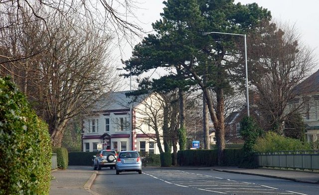
The North Road, Belfast
The North Road is a residential road running from Dundela Avenue, across the Upper Newtownards Road, to the Bloomfield roundabout. This is the view towards the Upper Newtownards Road at the bridge J3773 : Old railway bridge, Belfast across the old County Down railway to Comber, Donaghadee and Newcastle.
![Creative Commons Licence [Some Rights Reserved]](https://s1.geograph.org.uk/img/somerights20.gif)
|
· Find out How to reuse this image ·
Share:
|
|||||
|
There is 1 post in a
discussion on J3773 (preview on the left) |
Suggest an update to this image | Contact the contributor | |||
Loading map... (JavaScript required)
- Grid Square
- J3773, 403 images (more nearby
 )
)
- Photographer
- Albert Bridge (find more nearby)
- Date Taken
- Monday, 11 February, 2008 (more nearby)
- Submitted
- Monday, 11 February, 2008
- Category
- Street (more nearby)
- Subject Location
-
Irish:
 J 372 736 [100m precision]
WGS84: 54:35.5684N 5:52.6152W - Camera Location
-
Irish: J 371 736
- View Direction
- Northeast (about 45 degrees)
Image classification(about):
Geograph
This page has been viewed about 214 times.
View this location:
KML (Google Earth) ·
Google Maps ·
Bing Maps ·
Geograph Coverage Map ·
More Links for this image
·
Bing Maps ·
Geograph Coverage Map ·
More Links for this image