2021
NJ9547 : Confluence of Cock Burn with South Ugie Water...
taken 3 years ago, 3 km from Old Deer, Aberdeenshire, Scotland
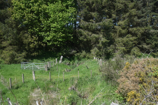
Confluence of Cock Burn with South Ugie Water...
...as seen from the Formartine and Buchan Way.
 Map © Crown Copyright")
TIP: Click the map for more Large scale mapping
- Grid Square
- NJ9547, 26 images (more nearby 🔍)
- Photographer
- Bill Harrison (more nearby)
- Date Taken
- Sunday, 30 May, 2021 (more nearby)
- Submitted
- Wednesday, 2 June, 2021
- Subject Location
-
OSGB36:
 NJ 9506 4795 [10m precision]
WGS84: 57:31.3014N 2:5.0478W - Camera Location
-
OSGB36: NJ 9507 4792
- View Direction
- NORTH (about 0 degrees)