2021
NC8254 : Rough Grassland East of Strathy Forest
taken 3 years ago, near to Uair, The [water Feature], Highland, Great Britain
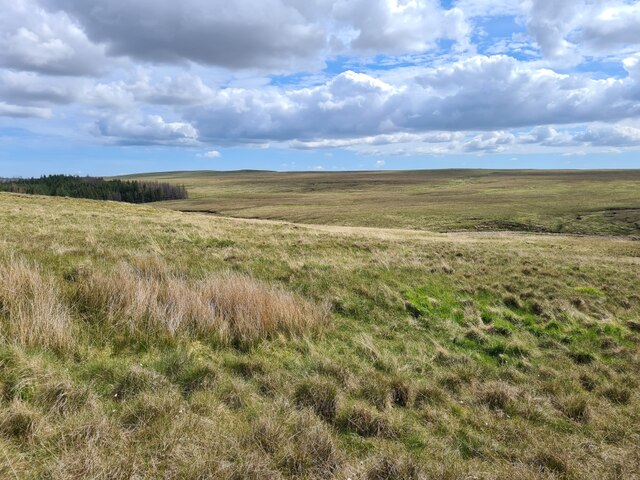
Rough Grassland East of Strathy Forest
Tussocky grass with damp areas. Looking at the SE tip of the northern part of Strathy Forest, towards Cnoc na Cèardaich.
 Map © Crown Copyright")
TIP: Click the map for more Large scale mapping
- Grid Square
- NC8254, 2 images (more nearby 🔍)
- Photographer
- Thomas Byrd (more nearby)
- Date Taken
- Saturday, 5 June, 2021 (more nearby)
- Submitted
- Sunday, 6 June, 2021
- Subject Location
-
OSGB36:
 NC 8261 5419 [10m precision]
WGS84: 58:27.6080N 4:0.8215W - Camera Location
-
OSGB36: NC 82424 54145
- View Direction
- East-northeast (about 67 degrees)