J3432 : Approaching the Horn Bridge from the West
taken 3 years ago, 3 km from Newcastle, Co Down, Northern Ireland
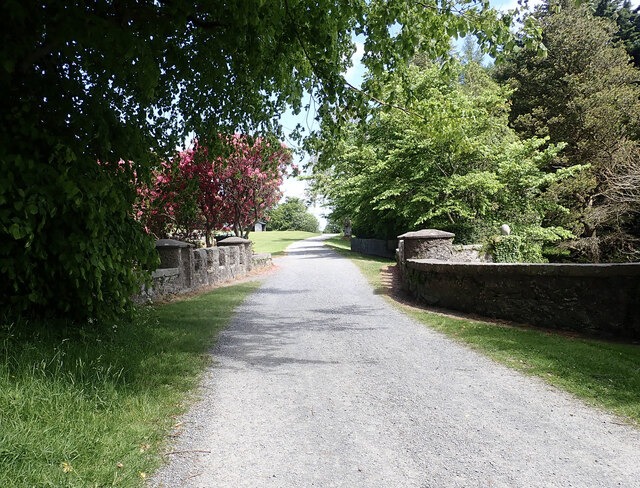
Approaching the Horn Bridge from the West
At one time decorated with the tusks of a whale washed ashore in Dundrum Bay, The Horn Bridge dates from 1787. It spans a small rill which tumbles its way down the steep slope to join the Shimna.
![Creative Commons Licence [Some Rights Reserved]](https://s1.geograph.org.uk/img/somerights20.gif)
|
· Find out How to reuse this image ·
Share:
|
|||||
| Start a discussion on J3432 | Suggest an update to this image | Contact the contributor | |||
Loading map... (JavaScript required)
- Grid Square
- J3432, 425 images (more nearby
 )
)
- Photographer
- Eric Jones (find more nearby)
- Date Taken
- Friday, 4 June, 2021 (more nearby)
- Submitted
- Tuesday, 8 June, 2021
- Geographical Context
- Subject Location
-
Irish:
 J 343 324 [100m precision]
WGS84: 54:13.4019N 5:56.4700W - Camera Location
-
Irish: J 342 324
- View Direction
- East-northeast (about 67 degrees)
This page has been viewed about 26 times.
View this location:
KML (Google Earth) ·
Google Maps ·
Bing Maps ·
Geograph Coverage Map ·
More Links for this image
·
Bing Maps ·
Geograph Coverage Map ·
More Links for this image