2021
NK0347 : The path to Peterhead
taken 3 years ago, near to Longside, Aberdeenshire, Scotland
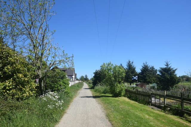
The path to Peterhead
The Formartine and Buchan Way just to the east of Longside.
 Map © Crown Copyright")
TIP: Click the map for more Large scale mapping
- Grid Square
- NK0347, 48 images (more nearby 🔍)
- Photographer
- Bill Harrison (more nearby)
- Date Taken
- Saturday, 5 June, 2021 (more nearby)
- Submitted
- Tuesday, 8 June, 2021
- Subject Location
-
OSGB36:
 NK 0387 4793 [10m precision]
WGS84: 57:31.2913N 1:56.2227W - Camera Location
-
OSGB36: NK 0384 4793
- View Direction
- EAST (about 90 degrees)