2021
TA2169 : Danes Dyke and the Beach
taken 3 years ago, near to Sewerby, East Riding of Yorkshire, England
This is 1 of 11 images, with title starting with Danes Dyke in this square
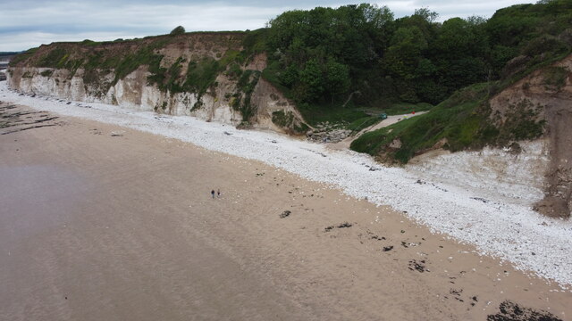
Danes Dyke and the Beach
This is the aerial view of the southern end of Danes Dyke.
 Map © Crown Copyright")
TIP: Click the map for more Large scale mapping
- Grid Square
- TA2169, 264 images (more nearby 🔍)
- Photographer
- Andy Beecroft (more nearby)
- Date Taken
- Friday, 11 June, 2021 (more nearby)
- Submitted
- Saturday, 12 June, 2021
- Subject Location
-
OSGB36:
 TA 2156 6921 [10m precision]
WGS84: 54:6.2654N 0:8.5390W - Camera Location
-
OSGB36: TA 2171 6904
- View Direction
- Northwest (about 315 degrees)