R4179 : Cloonbeg, Clooney, Co. Clare
taken 11 years ago, 5 km N of Quin, Co Clare, Ireland
Cloonbeg, Clooney, Co. Clare
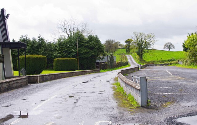
A minor road off the R352 at Clooney, which serves a few farms and homes and then appears to peter out. On the right is the car park for the local church of Saint John XXIII.
![Creative Commons Licence [Some Rights Reserved]](https://s1.geograph.org.uk/img/somerights20.gif)
|
· Find out How to reuse this image ·
Share:
|
|||||
| Start a discussion on R4179 | Suggest an update to this image | Contact the contributor | |||
Loading map... (JavaScript required)
- Grid Square
- R4179, 6 images (more nearby
 )
)
- Photographer
- P L Chadwick (find more nearby)
- Date Taken
- Tuesday, 14 May, 2013 (more nearby)
- Submitted
- Sunday, 13 June, 2021
- Geographical Context
- Subject Location
-
Irish:
 R 415 794 [100m precision]
WGS84: 52:51.7823N 8:52.1233W - Camera Location
-
Irish: R 416 794
- View Direction
- West-southwest (about 247 degrees)
Other Tags
This page has been viewed about 8 times.
View this location:
KML (Google Earth) ·
Google Maps ·
Bing Maps ·
Geograph Coverage Map ·
More Links for this image
·
Bing Maps ·
Geograph Coverage Map ·
More Links for this image