2021

TA1743 : Field of rape

taken 3 years ago, near to Little Hatfield, East Riding of Yorkshire, England
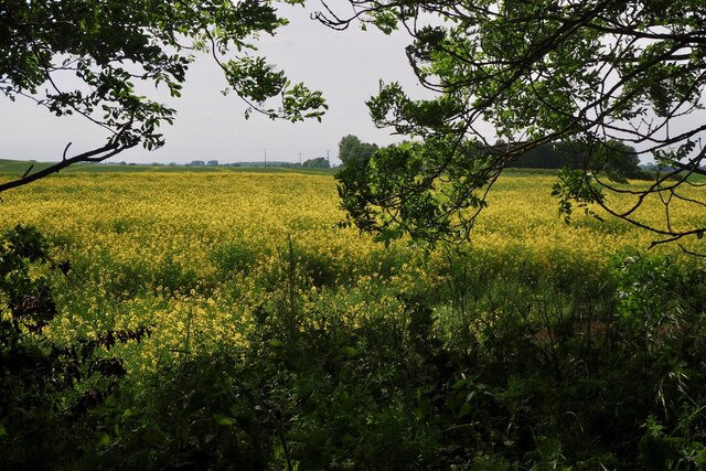
Field of rape
Field of rape
From the Trans Pennine Trail.

Creative Commons Licence [Some Rights Reserved]   © Copyright David Lally and licensed for reuse under this Creative Commons Licence.
Geographical Context: Farm, Fishery, Market Gardening Crop: Rape Oilseed Rape Oil Seed Rape Crops: Oilseed Rape Primary Subject: Field other tags: Rape Field Field of Rape Fields of Oilseed Rape Field of Oil Seed Rape Click a tag, to view other nearby images.
This photo is linked from: Automatic Clusters: · Field [2] · Trans Pennine Trail [2] ·
1:50,000 Modern Day Landranger(TM) Map © Crown Copyright
+
+
1:50,000 Modern Day Landranger(TM) Map © Crown Copyright
TIP: Click the map for more Large scale mapping
Grid Square
TA1743, 25 images   (more nearby 🔍)
Photographer
David Lally   (more nearby)
Date Taken
Friday, 11 June, 2021   (more nearby)
Submitted
Monday, 14 June, 2021
Subject Location
OSGB36: geotagged! TA 1799 4311 [10m precision]
WGS84: 53:52.2474N 0:12.4193W
Camera Location
OSGB36: geotagged! TA 1804 4309
View Direction
West-northwest (about 292 degrees)
Clickable map
+
NW N NE
W Go E
SW S SE
Image Type (about): cross grid 
This page has been viewed about 20 times
You are not logged in login | register