2021
SU3385 : Farmland, Sparsholt
taken 3 years ago, near to Kingston Lisle, Oxfordshire, England
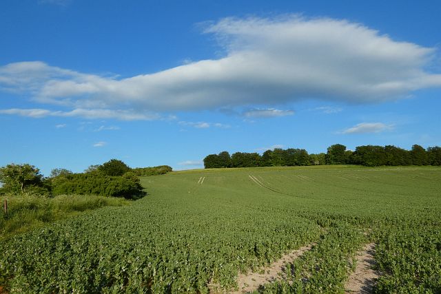
Farmland, Sparsholt
A crop of beans beside the Ridgeway.
 Map © Crown Copyright")
TIP: Click the map for more Large scale mapping
- Grid Square
- SU3385, 31 images (more nearby 🔍)
- Photographer
- Andrew Smith (more nearby)
- Date Taken
- Saturday, 12 June, 2021 (more nearby)
- Submitted
- Tuesday, 15 June, 2021
- Subject Location
-
OSGB36:
 SU 332 857 [100m precision]
WGS84: 51:34.1627N 1:31.3169W - Camera Location
-
OSGB36: SU 330 857
- View Direction
- East-southeast (about 112 degrees)