2021
SU3053 : Farmland, Chute
taken 3 years ago, near to Chute Standen, Wiltshire, England
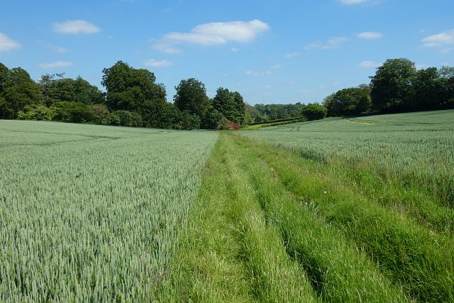
Farmland, Chute
A footpath between fields of wheat as directed by signs at its eastern end, though not one that's mapped. I assume it's a slight, but apparently unofficial, diversion to the right of way somewhat to the north.
 Map © Crown Copyright")
TIP: Click the map for more Large scale mapping
- Grid Square
- SU3053, 12 images (more nearby 🔍)
- Photographer
- Andrew Smith (more nearby)
- Date Taken
- Sunday, 13 June, 2021 (more nearby)
- Submitted
- Friday, 18 June, 2021
- Subject Location
-
OSGB36:
 SU 305 537 [100m precision]
WGS84: 51:16.9030N 1:33.7847W - Camera Location
-
OSGB36: SU 304 537
- View Direction
- East-southeast (about 112 degrees)