2021
NK0833 : View across Broad Haven
taken 3 years ago, near to Whinnyfold, Aberdeenshire, Scotland
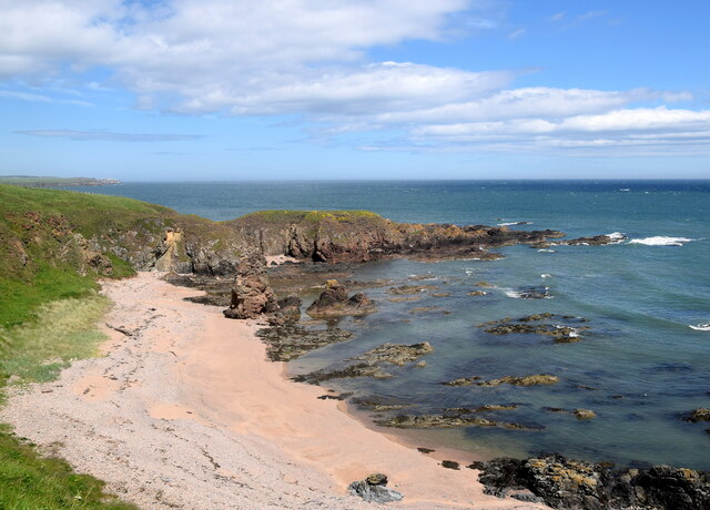
View across Broad Haven
The rocky shoals presumably made the beach inaccessible to fishermen. The prominent rock at the edge of the beach is a natural arch called the Poor Man of Broad Haven.
 Map © Crown Copyright")
TIP: Click the map for more Large scale mapping
- Grid Square
- NK0833, 40 images (more nearby 🔍)
- Photographer
- Bill Harrison (more nearby)
- Date Taken
- Sunday, 13 June, 2021 (more nearby)
- Submitted
- Saturday, 19 June, 2021
- Subject Location
-
OSGB36:
 NK 0849 3328 [10m precision]
WGS84: 57:23.3920N 1:51.6248W - Camera Location
-
OSGB36: NK 0841 3324
- View Direction
- East-northeast (about 67 degrees)