2021
SJ8297 : Potato Wharf basin, Castlefield
taken 3 years ago, near to Rusholme, Manchester, England
This is 1 of 5 images, with title starting with Potato Wharf in this square
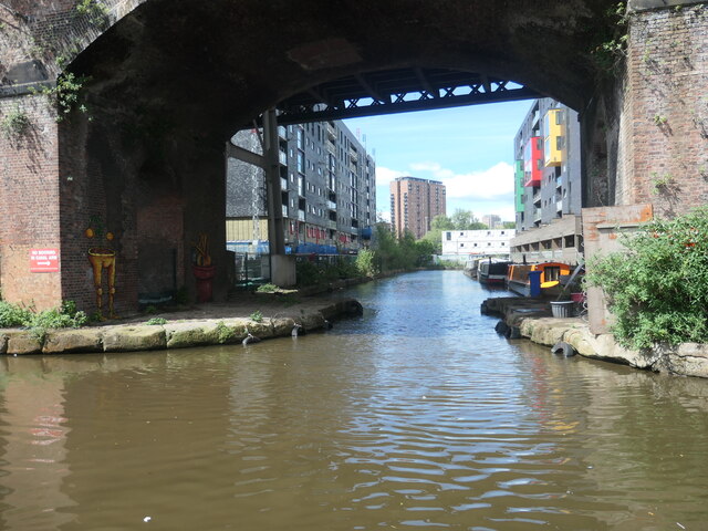
Potato Wharf basin, Castlefield
Seen from a boat on the Bridgewater canal. A second parallel basin, to the west, has been infilled.
 Map © Crown Copyright")
TIP: Click the map for more Large scale mapping
- Grid Square
- SJ8297, 472 images (more nearby 🔍)
- Photographer
- Christine Johnstone (more nearby)
- Date Taken
- Saturday, 22 May, 2021 (more nearby)
- Submitted
- Tuesday, 22 June, 2021
- Subject Location
-
OSGB36:
 SJ 8291 9760 [10m precision]
WGS84: 53:28.4909N 2:15.5370W - Camera Location
-
OSGB36: SJ 8294 9755
- View Direction
- North-northwest (about 337 degrees)