2021
SU6434 : Farmland, Bighton
taken 3 years ago, near to Soldridge, Hampshire, England
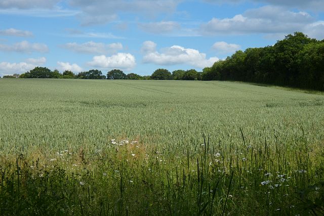
Farmland, Bighton
A crop of wheat viewed from Gullet Lane just to the west of its junction with Rookwood Lane.
 Map © Crown Copyright")
TIP: Click the map for more Large scale mapping
- Grid Square
- SU6434, 22 images (more nearby 🔍)
- Photographer
- Andrew Smith (more nearby)
- Date Taken
- Saturday, 26 June, 2021 (more nearby)
- Submitted
- Sunday, 27 June, 2021
- Subject Location
-
OSGB36:
 SU 643 345 [100m precision]
WGS84: 51:6.3773N 1:4.9510W - Camera Location
-
OSGB36: SU 642 343
- View Direction
- North-northeast (about 22 degrees)