2021
TR0625 : Falstaff Close
taken 3 years ago, near to New Romney, Kent, England
This is 1 of 2 images, with title Falstaff Close in this square
Falstaff Close
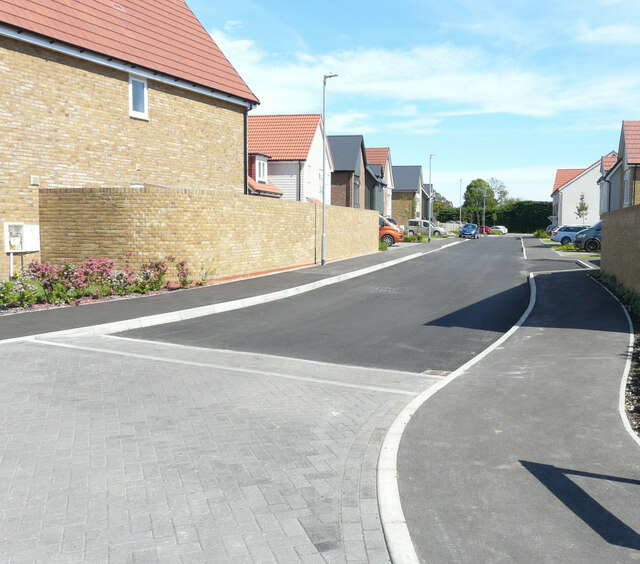
This was TR0625 : Falstaff Close during the construction of the houses on the right side of the close, which now appears to be finished.
The road is on a development named Mulberry Place.
The road is on a development named Mulberry Place.
 Map © Crown Copyright")
TIP: Click the map for more Large scale mapping
- Grid Square
- TR0625, 157 images (more nearby 🔍)
- Photographer
- John Baker (more nearby)
- Date Taken
- Sunday, 20 June, 2021 (more nearby)
- Submitted
- Wednesday, 7 July, 2021
- Subject Location
-
OSGB36:
 TR 0652 2535 [10m precision]
WGS84: 50:59.4292N 0:56.4816E - Camera Location
-
OSGB36: TR 0649 2536
- View Direction
- East-southeast (about 112 degrees)